
")
RESEARCH AND
DEVELOPMENT

NEXT-GENERATION
AVIATION

AI &
AUTONOMOUS SYSTEMS

MAPPING AND
MONITORING
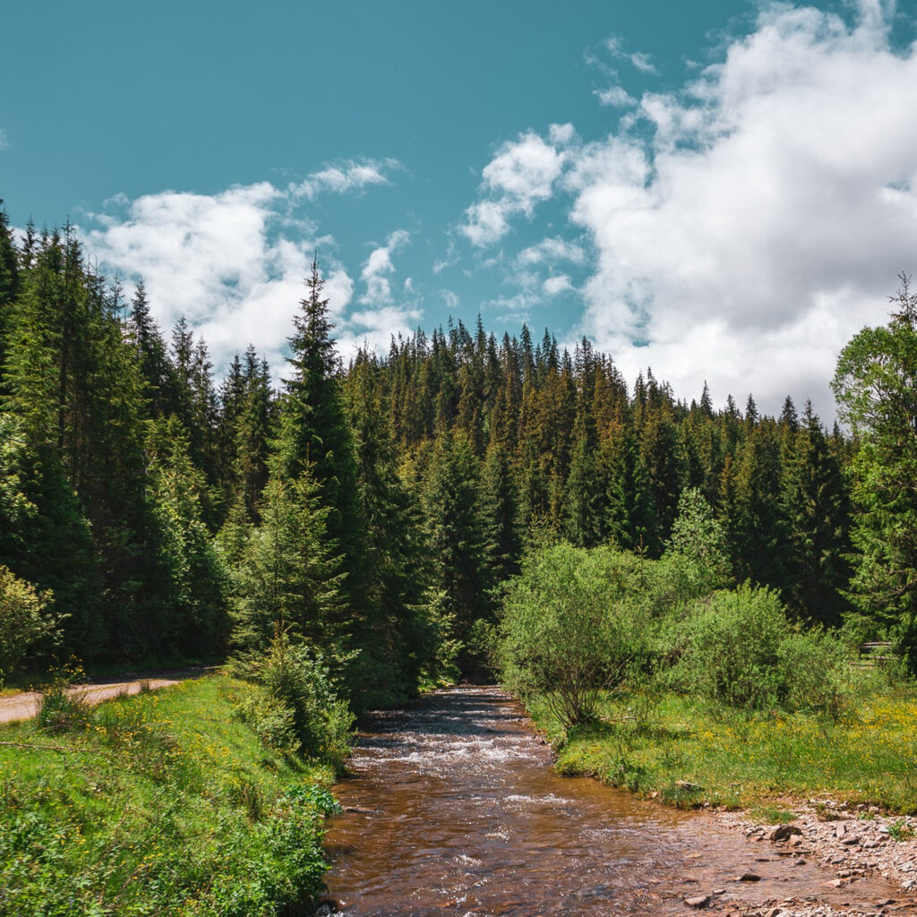
Forest and biodiversity mapping
Mapping of harvesting units
and post-harvest waste assessment
Precision forestry
and sustainable forest planning
Canopy gap mapping
Measurement of stand height and attributes
Rapid volume estimation
with accurate tree counts
Surviving tree count
Regeneration species analysis
Weed mapping
Tree height derivation
Post-fire analysis
3D forest imagery visualization
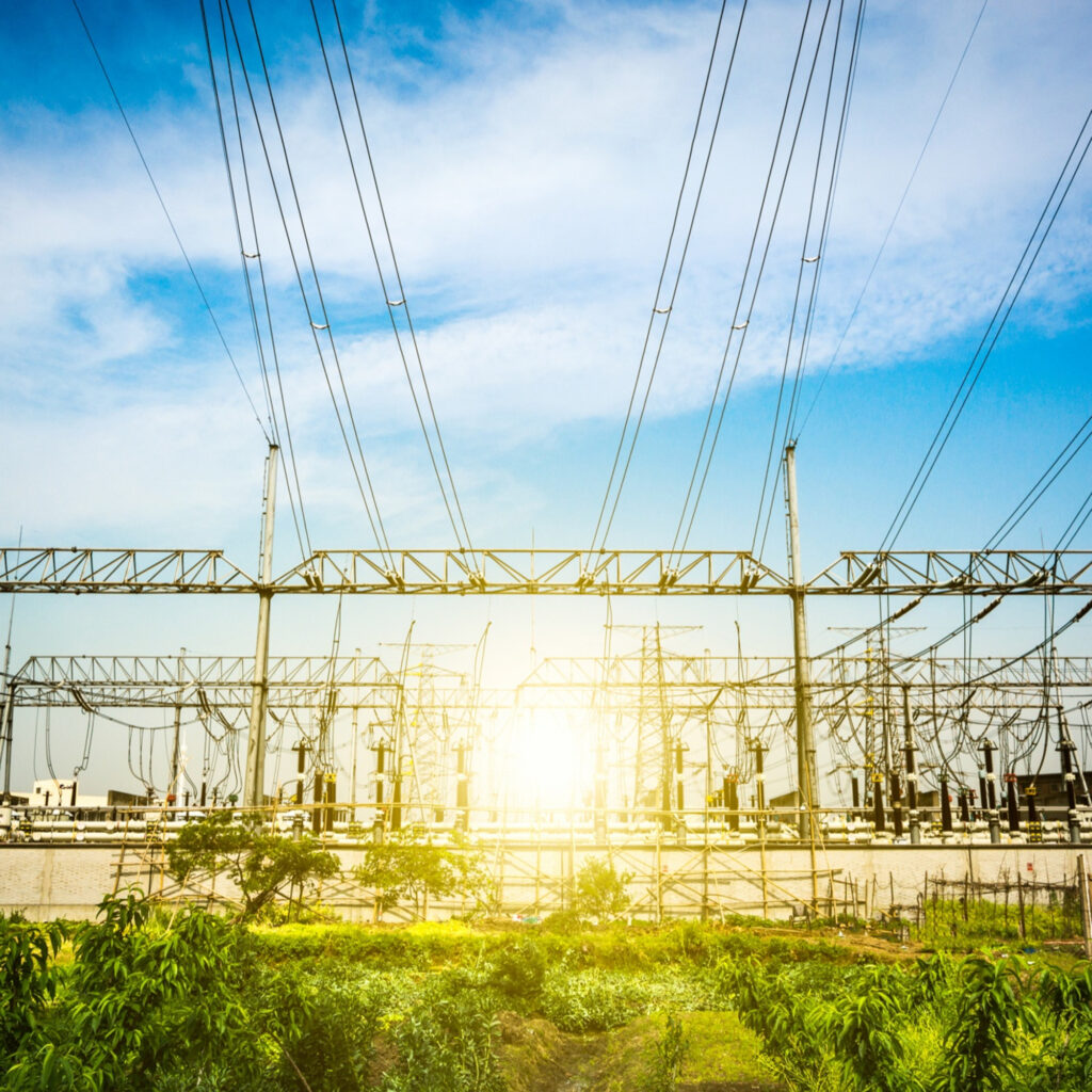
Inspection, monitoring,
and supervision of infrastructure
Inspection and predictive maintenance
Compliance with environmental
and safety regulations
Methane leak detection
Risk reduction
Perimeter security
Linear asset protection
Vegetation and erosion monitoring
Emergency response
Inspection and support in material collection,
storage and protection


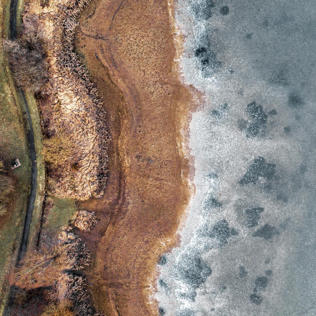
Air Quality monitoring
The effects of global warming
on a changing landscape
Pollution management
Baseline Data Collection
Gathering initial environmental data
before development projects
Landfill Monitoring
Detecting gas leaks (with specialized sensors),
subsidence, and changes in waste distribution
Floodplain mapping and modeling,
Creating accurate models for flood risk
assessment and emergency planning
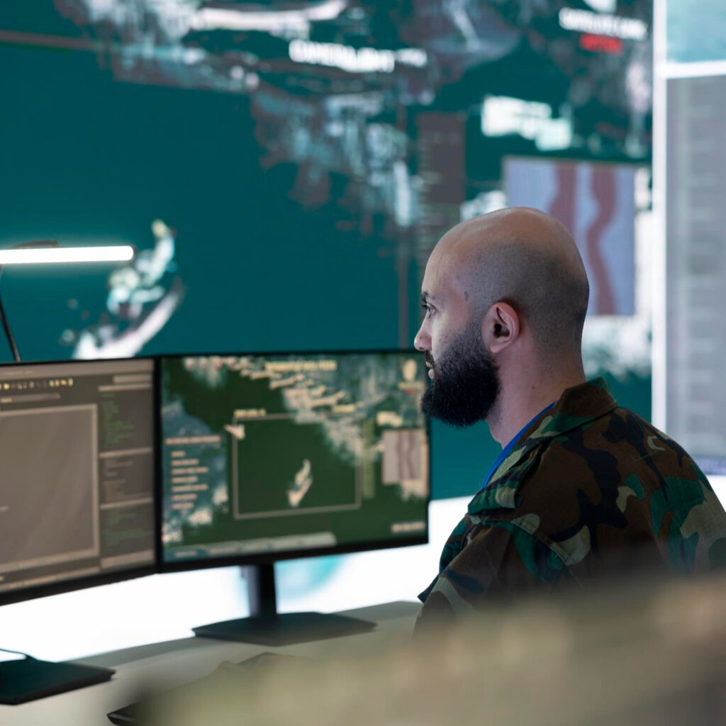
Intelligence, Surveillance, and Reconnaissance (ISR)
Situational awareness
Object tracking and target identification
Battle damage assessment (BDA)
Perimeter and border patrols
Criminal investigation and evidence collection
Stolen goods localization
Border control and surveillance
Search (vehicles, cargo)
and rescue operations (e.g., floods)
Aerial surveillance and target tracking
Riot control, crowd monitoring,
and oversight of sports and cultural events
Vehicle tracking
Drug trafficking detection
Pre- and post-incident planning and assessment